📱 Take your routes offline. The native iOS/Android app is in development. Join the early access waitlist →
The Free 3D Route Planner for Trail Running
Plan routes with custom trail routing, public trace heatmaps, outdoor POIs, roundtrip loops, trail difficulty, snow context, GPX merge/export, 3D videos, and roadbooks. No account, no subscriptions, no paywalls.
Features
Professional route planning, zero paywalls
- 📥
GPX Import, Merge & Export
- Upload one GPX or select several files to merge them into a single planner route, then export clean GPX 1.1 for Garmin, Coros, Suunto, Apple Watch, or any navigation app.
- 🔥
Public Trace Heatmap
- Turn on anonymized public GPS trace popularity to spot where runners and hikers actually go, especially when map data looks ambiguous.
- 🔁
Roundtrip Loop Generator
- Generate scenic loop candidates from a start point, compare distance and trail quality, then adjust the target distance before exporting.
- 🧭
Outdoor POIs
- Show practical map context such as water, huts, shelters, camp sites, parking, picnic spots, viewpoints, and information points while planning.
- 🥾
Trail Difficulty & Surface
- Inspect surface mix, trail confidence, runnability grade, gradients, and hiking network context so a route is not just a line on a map.
- ❄️
Snow & Terrain Context
- Use current snow overlays, source-date transparency, contours, hillshade, and elevation profiles to sanity-check mountain routes before committing.
- 🏔️
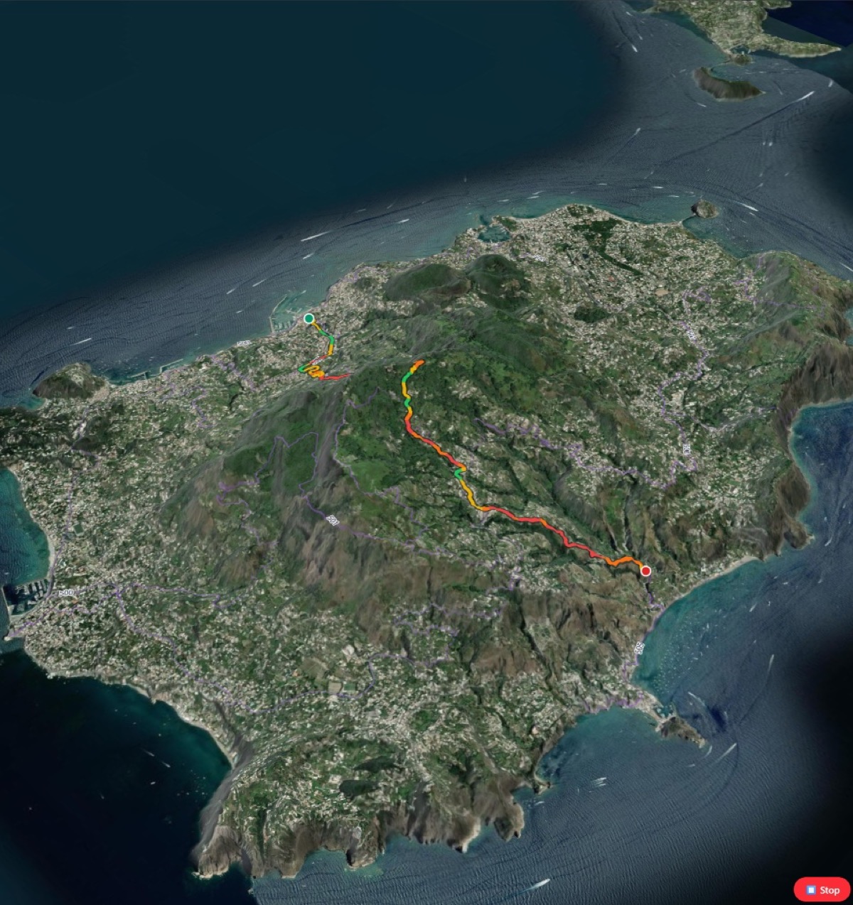
True 3D Topography
- Visualize elevation gain and exposure in 3D satellite view before you hit the mountain. Know exactly what you're signing up for.
- 🎬
Videos & Route Roadbooks
- Create browser-generated 3D route videos and printable alpine roadbooks with maps, elevation, route cues, safety notes, and a QR link back to the interactive route.
Route Preparation Stack
From GPX file to group-ready route plan
TrailSplits is a free web-based GPX route planner for mountain runners and hikers. It supports GPX upload and multi-file merge, route reversal, trail-biased Valhalla routing, public trace heatmaps, outdoor POIs, roundtrip loop generation, trail difficulty and surface analysis, snow overlays, 3D terrain flyovers, browser video export, printable route roadbooks, and standard GPX 1.1 export for Garmin, Coros, Suunto, Apple Watch, and navigation apps.
Bring in one GPX or merge several files, flip the direction, adjust waypoints, prefer trails, and export a clean new GPX.
Layer public trace popularity, water, huts, parking, hiking networks, surface cues, and trail confidence over the route.
Create scenic loops from a start point and compare candidates by distance, unique trail use, pavement, and quality score.
Record a 3D route video, print a roadbook with map and QR code, or download a standard GPX for watches and phones.
Why use TrailSplits?
Major fitness apps have locked basic safety tools behind $60/year paywalls. TrailSplits was built by trail runners to keep route planning free.
| Feature | Strava / Komoot | TrailSplits |
|---|---|---|
| GPX export | $60/year | Free |
| 3D satellite flyover | — | ✓ |
| Trail-first routing | Limited | Valhalla (OSM) |
| Color-coded gradients | — | ✓ |
| GPX import, merge, and reverse | Varies | Free |
| Public GPS trace heatmap | Limited | Planner layer |
| Roundtrip loop generator | Premium or manual | Flexible scenic planner |
| Outdoor POIs and snow context | Fragmented | Built in |
| 3D video and route roadbook | Premium or manual | Browser-generated |
| Account required | Yes | No |
Trail Guides
Explore long-distance & day-hike trails
Stage-by-stage guides for multi-day trails across Europe, plus satellite-verified day hikes in Switzerland.
Blog
Practical guides for route planning